
Lines you can still read at midday
Thick trails, coloured by difficulty, with a casing that holds on topo, satellite, streets and dark.
Blazemark.com.au
Clearer overlays, a desktop route builder that follows the track, and park and fire information on the walk — not buried in another website.
Every state and territory. Sign in when you want the route on your phone.
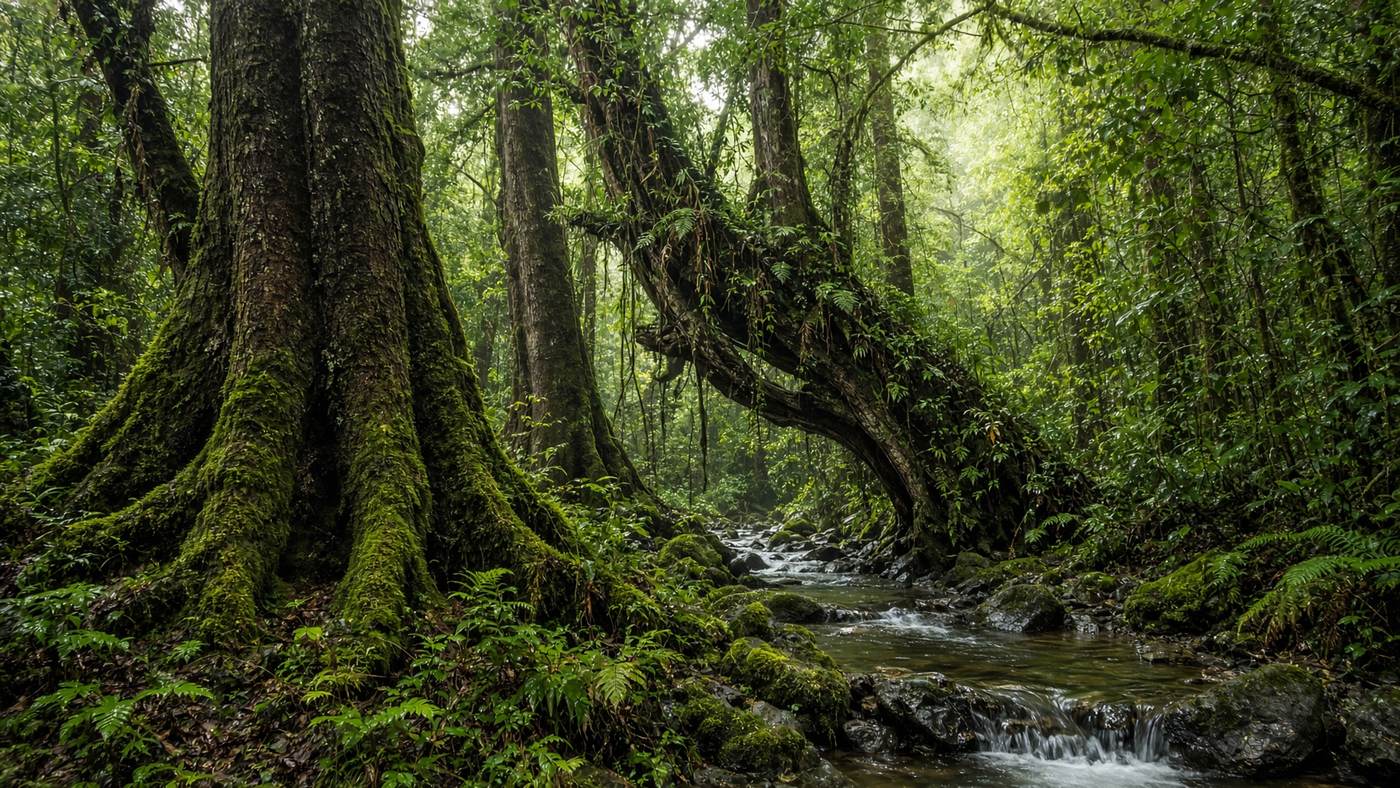
On the map now
Mount Coot-tha
Snap
The line follows the track, not a chord across the gully.
Safety
Fire danger and park alerts sit on the route, before reception drops.
GPX
Name it, save it, export it. No subscription wall.
Australia
Every state and territory, not one corner of the map.
The gap
Park closures and fire danger sit on government sites. Drawing your own line is often the paid extra. Trail colour washes out the moment the sun hits the screen.
Thick trails, coloured by difficulty, with a casing that holds on topo, satellite, streets and dark.
Click, snap within 60 metres, drag a midpoint, undo, close the loop, and watch distance, climb and time update.
Sample fire ratings and park alerts for all eight jurisdictions, with the official page one tap away.
Use it now
These are not mock screens. The map, the planner and the safety desk are the same tools, in the browser.
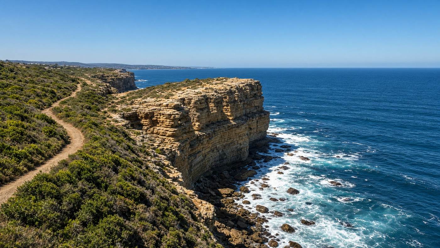
Explore
Search, filter by grade and distance, and switch topo, satellite with labels, streets or dark.
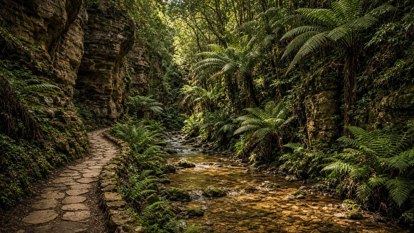
Planner
Draw on the desktop, snap onto the walking network, name the route, and export GPX.
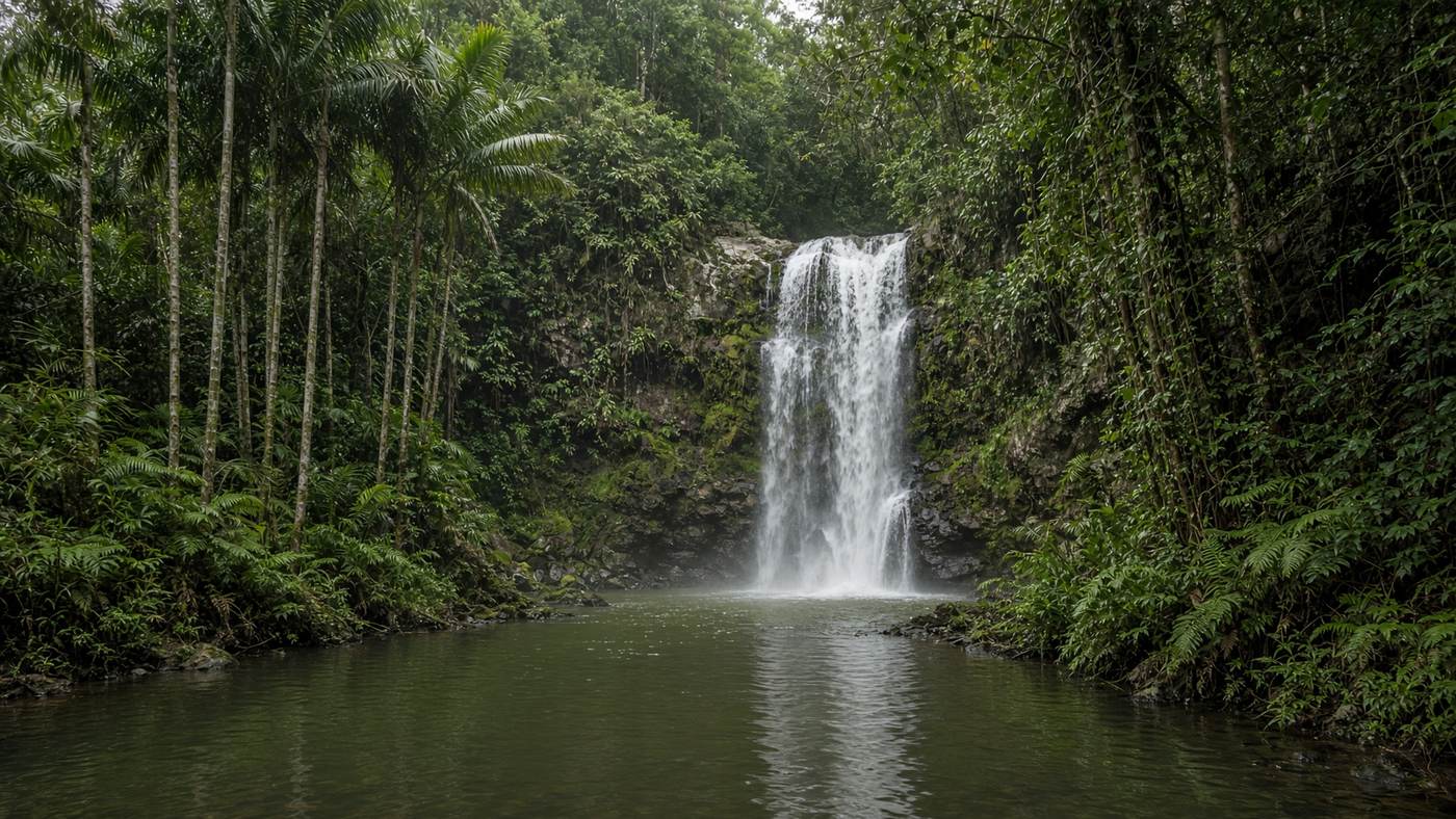
Trail
Distance, climb, time, elevation, conditions, park status and fire danger on one page.
Safety
Area fire ratings, park alerts, and the official notice before you leave the carpark.
Australia
These six are familiar starts in Queensland and New South Wales. The map, the planner and the safety desk cover every state and territory.
Start a walk


